ERDDAP Data Server
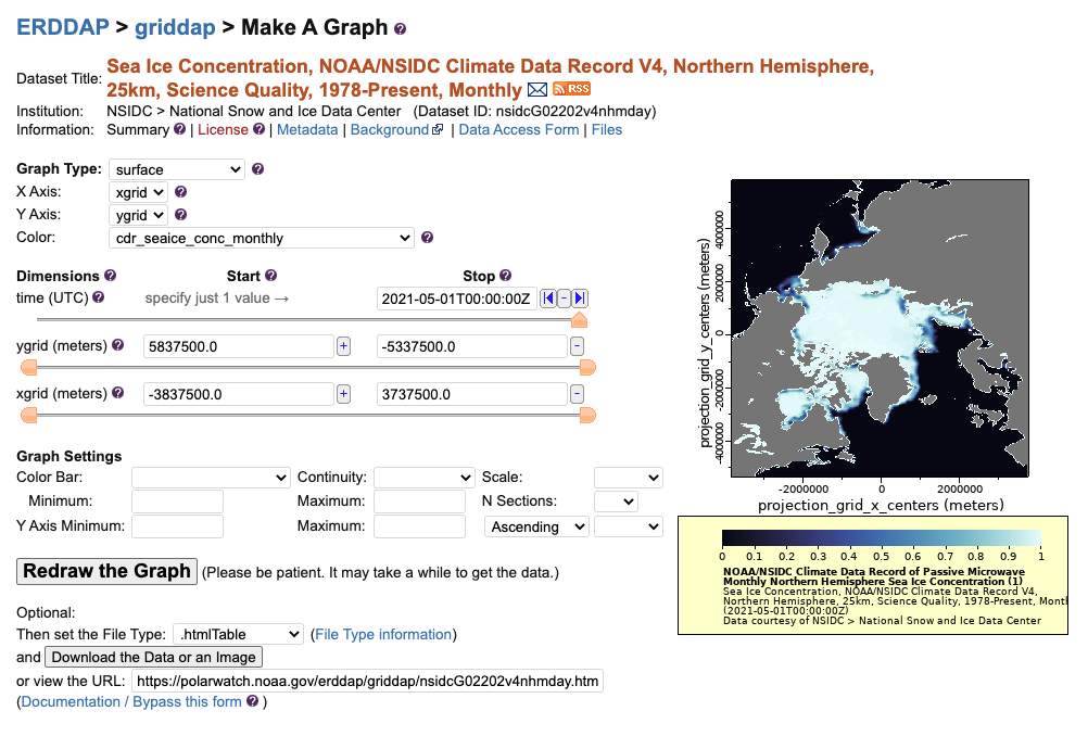
The ERDDAP data server provides a simple, consistent way to subset and download environmental datasets in common file formats with options to make graphs and maps.


Laser/Radar Altimeter (LaRA) Arctic Monthly Snow Depth Means Now Available!
Monthly mean LaRA snow depth data for the Arctic winter months (November through April) are now accessible.
These 5-year climatological monthly means were created by averaging satellite-derived snow depths from five winters spanning 2018–2023, using integrated observations from ICESat-2 and CryoSat-2.
Check out the data (ESA algorithm, AWI algorithm)
June 15, 2025
Join us live for CoastWatch Office Hours, a Q&A session on data access and CoastWatch tutorials. Click here for more information. June 15, 2025
The ERDDAP data server provides a simple, consistent way to subset and download environmental datasets in common file formats with options to make graphs and maps.

