Overview
The CoastWatch Utilities let users work with earth science data created by NOAA CoastWatch. Users can easily view and convert data in various formats: HDF 4, NOAA 1b, and NetCDF 4. The software has both interactive and batch processing tools. Learn more and get download links on the CoastWatch web site.
Learn More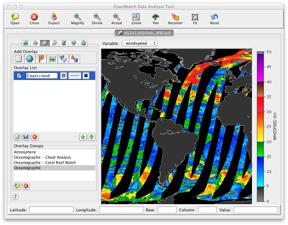
Software Features
Information and Statistics - File contents, statistics computations on variables (for example min, max, mean, standard deviation), direct access to raw file and variable attributes.
Data Processing - Data format conversions, compositing, generic variable math, data sampling.
Graphics and Visualization - Interactive visualization/analysis, batch image rendering, ancillary graphics creation such as data coverage maps, grids, coastlines, land masks.
Registration and Navigation - Resampling of data from one projection to another, interactive generation of region masters, manual and automatic navigational correction, computation of solar and earth location angles.
Network - Data download and server status.
The CoastWatch Utilities are available for Windows, Linux, and Mac OS X.